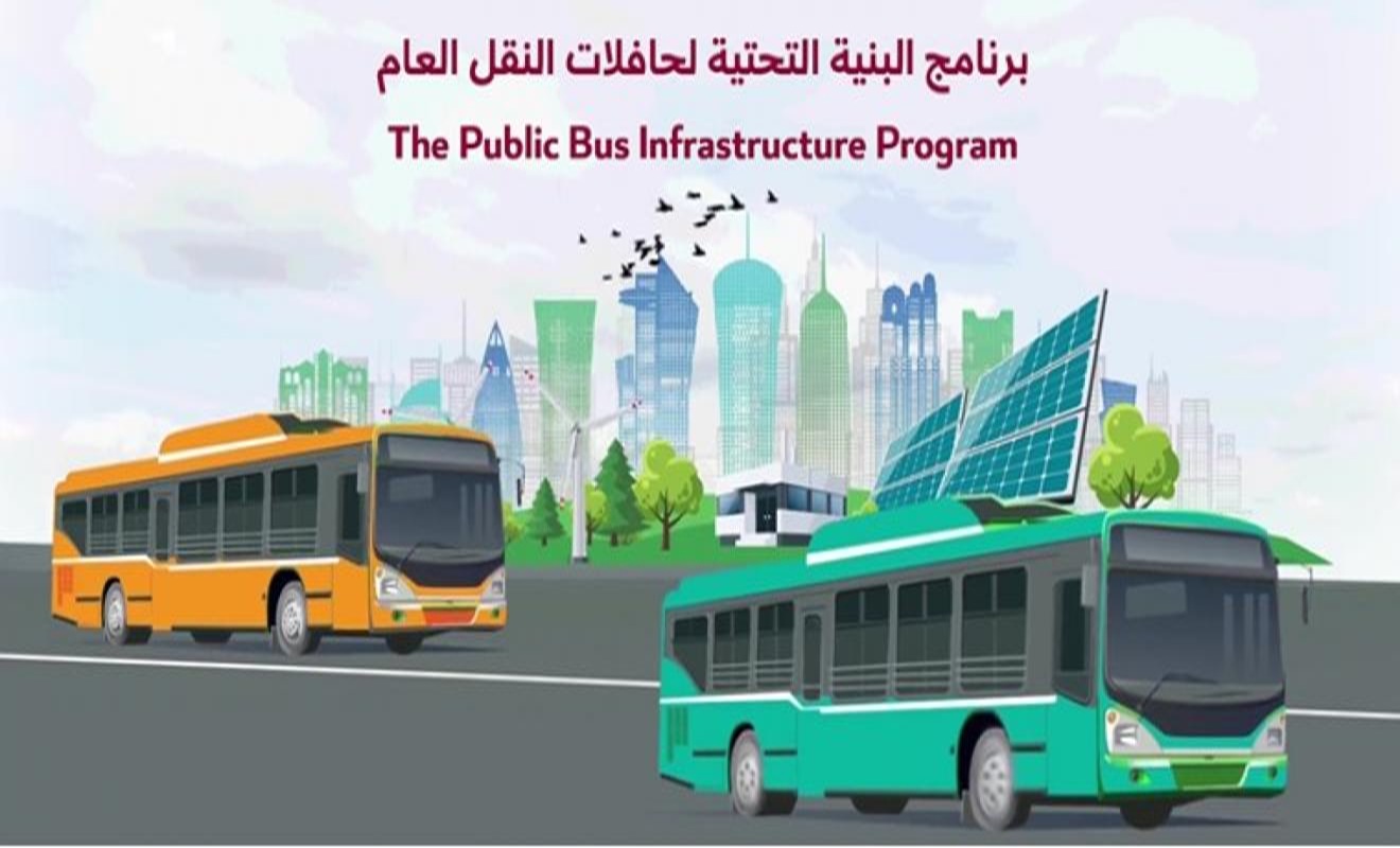
Transportation Master Plan for Qatar-2050
This Plan works as a roadmap for investing in land transportation infrastructure and identifies the frameworks and future orientations for developing the transportation networks nationwide in a way that ensures their integration with land uses, urban development, population growth and meeting the future demand for transportation.
Sustainability is the cornerstone of this Plan, given the great impact this concept has on economic and environmental development, by striking a balance between the requirements of economic growth and environmental protection and contributing to reducing climate change by putting into effect long-term initiatives that contribute to transitioning to sustainable transportation.
The Plan, also helps achieve financial sustainability of the land transportation sector by covering the largest possible ratio of operating costs through executing transportation demand management policies, and public-private partnerships for investing in and contributing to building and operating the country’s transportation systems.
The Plan will have significant economic returns thanks to increased revenues and the benefits of saving vehicle-operating cost, saving energy and fuel consumption, reducing trip time, and lowering carbon emissions and road accidents.
Data Collection: Inventories and Surveys
The Data Collection: Inventories and Surveys Project is a fundamental component of the efforts to update the Transportation Master Plan for Qatar 2050 (TMPQ), which, in turn, contributes to updating the Qatar Strategic Transport Model, determining the standards, and developing the parameters needed for transport planning and traffic analysis.
The Project also included establishing The Transportation Data Management System (TDMS) that consists of a geospatial database supported by a web-based platform and a user-friendly interface to facilitate retrieving, visualizing, analyzing, and extracting data from the geospatial databases.
The TDMS will be accessible to government entities and consulting firms working in transportation studies.
Qatar Activity Based Model (QABM)
Qatar Activity Based Model (QABM) is a reliable national transportation planning tool that will assist decision makers in implementing transportation projects and policies in the State of Qatar.
QABM is exclusively characterized by its ability to simulate the population activities based on demographic and socioeconomic characteristics, while taking into account joint activities and trips made by the same family members, thus offering a paradigm shift in terms of transportation modeling and planning.
To facilitate accessing QABM, the Ministry of Transport developed a web-based platform with an interactive users’ interface to visualize the components of the model, and access the key inputs, data and maps without the need to use the model directly or the need to acquire commercial license to the software.
Transportation Master Plan for Qatar (TMPQ)
The Transportation Master Plan for Qatar 2050 (TMPQ) identifies the vision, directions, and framework within an integrated set of initiatives for all transportation users including short, medium, and long term investment in transportation infrastructure.
The TMPQ is presented in five volumes together with comprehensive manuals and guidelines to support plan implementation.
This long term comprehensive master plan will eventually bring Qatar to the forefront of the world’s most sustainable nations on providing innovative and sustainable transportation solutions to boost the economy and improve the quality of life for citizens and residents while preserving the national identity of Qatar.
The Project’s key achievements can be summarized as follows:







Qatar Trip Generation and Parking Rate Manual (QTGPRM)
The Qatar Trip Generation and Parking Rates Manual (QTGPRM) project provides trip and parking rates. These rates are key input for traffic analyses as part of transportation studies, in addition to traffic impact studies for development and urban projects across the country.
Project’s main deliverables:
- Qatar Trip Generation and Parking Rates Manual (QTGPRM):
- For the first time in Qatar, the Manual provides trip and parking rates for various land uses in Qatar. The rates were derived from vehicle surveys and in person interviews at over 7,000 sites across Qatar.
- Updating the Guidelines and Procedures for Transportation Studies (GPTS):
- Updating the GPTS will help improve the current procedures for performing transportation studies, promote the guidelines for the different types of transportation studies, and correlate them with the QTGPRM.
- Furthermore, the Manual will fulfil the requirements of government professionals, developers, private consulting firms, and researchers.
Qatar Parking Master Plan (QPMP)
The Qatar Parking Master Plan provides a modern, sustainable framework for the efficient planning, developing, and managing of parking supply and demand across all types of parking spaces.
The QPMP comes in four volumes, supported by integrated technical reports that contribute to the implementation of the QPMP over the coming years, and smart applications to keep pace with technological advancement in the field of planning, managing and operating parking facilities.
The Project’s key achievements can be summarized as follows:
- Developing parking policies, regulations, and legislative laws necessary to regulate vehicle parking in Qatar
- Launching more than 150 parking strategies on how parking policies should be carried out
- Developing a uniform and comprehensive Parking Design Manual in step with best international practices, thus improving efficiency and safety of the parking system. This manual will be used by government entities, developers, and consulting firms.
Concept Design to Connect Lusail City with Expressway Network
The studied area of this project is approximately 155 hectares and includes designing 39km of roads and 25 major intersections, where some of them are multilevel.
An ultramodern and beautifully landscaped design has been developed in the scheme which connects Al Shamal Rd. to Lusail City with high speed and free flow expressways along Al Tarfa and Al Ebb corridors in addition to an upgraded tunnel to improve Arab League Rd.
Once constructed, this scheme will provide a safe and efficient traffic flow, and enhanced connectivity between the City of Doha and Lusail City to keep up with the rapid population growth. It will also provide natural landscaping that will enhance the overall look and feel of the area.

